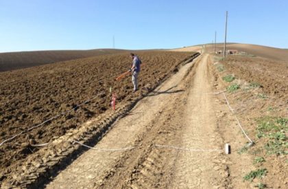
Geophysical investigations, in particular seismic and geoelectric ones, if well designed and associated with geological surveys, can provide important information for the stratigraphic reconstruction of soils, the geological characterisation of sites and the study of landslides.
Nowadays, being able to ascertain the type and size of a foundation system of a structure, combined with the geological and geotechnical characterisation of the subsoil, allows us to assess the local seismic action and its effects on the building which must be restored or built.
In order to manage geological risks prior to implementing any large civil works projects, SOING performs investigations aimed at researching and modelling both natural and anthropogenic underground cavities, and at carrying out the stratigraphic reconstruction of the soil, together with an assessment of the bedrock.
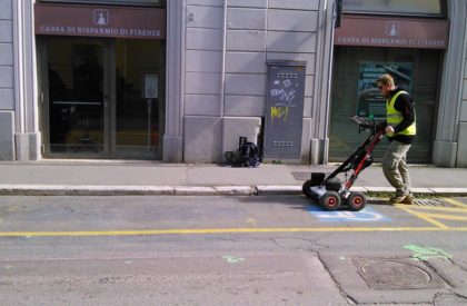
In order to avoid the costly disruption of public services provided to the population in urban and suburban areas and to provide subsurface digital mapping to the competent administrations and update their local land information systems, SOING carries out research and mapping of underground infrastructures.
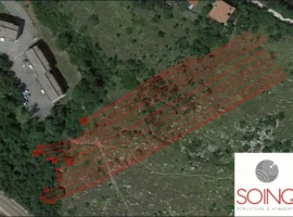
This is performed with innovative ground penetrating radar systems (GPR) with data processing and the subsequent transfer of the routes of the underground utilities in CAD. All data is geo-referenced with the use of GPS differential and automated Total Stations.
The experience gained by SOING in more than 10 years of investigation and mapping of underground services in urban, suburban and industrial areas, allows us to implement this service at all required quality and know-how levels.
For these environmental interventions, SOING offers its customers the highest possible technical expertise and utmost compliance with the Law – Environmental Consolidated Text 152/06.
In fact for the study of a contaminated site, while on the one hand all the activities envisaged by M. Decree 152/06 are carried out, starting from the characterisation plan, up to its remediation through drafting a risk analysis, on the other, thanks to the geophysical surveys, all those services which enhance the understanding of the site characterisation and optimise the results in the various phases are implemented.
At its disposal, SOING has Soil Vapor Extraction and Soil Venting facilities for land reclaiming, and numerous pumps and “Pump and Treat” Air Stripper systems for implementing safety measures and reclaiming the water table.
- Study and characterisation of landslides
- Stratigraphic reconstructions of the land and recognition of the bedrock
- Research and exploitation of groundwater resources
- Research for natural and man-made cavities
- Seismic characterisation of lands
- “Pre-sin-post” monitoring of environmental remediation
- Identification of the amounts of soil pollution contaminates
- Research and modelling of landfill materials and contamination plumes
- Integrity check of HDPE sheets for MSW landfills
- Search for buried metal masses
- Mapping underground utilities
- Identification and mapping of underground infrastructures
- Multi-antenna and multi-frequency GPR
- 2D and 3D electrical tomography (ERT 3D)
- Seismic refraction tomography for P and S waves
- Bore/down-hole seismic survey
- Seismic Masw
- Seismic HVSR
- Electromagnetism
- Magnetism
- Ultrasound
- Geognostic coring
- Surveys with automated Total Station and GPS differential
- Vibration monitoring
- Acoustic environmental analysis
- Thermography

